Charming waterfront near Hood Canal Bridge. The floating bridge will open occasionally to allow submarines to pass or to relieve pressure from high winds on Hood Canal. In either case, keep an eye out for the dark Trident submarines as they slip by, or brace for a rip-roaring storm.
Location: About .25 mi N of the E side of the Hood Canal Bridge. The sites are located in the woods at the south edge of the park.
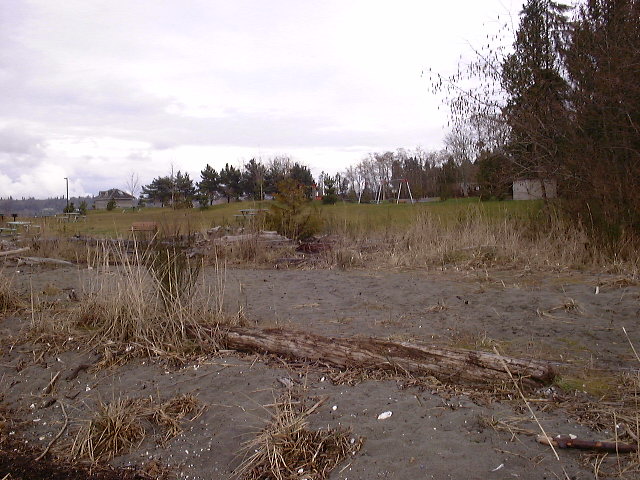
Hazards: Currents at the boat ramp dock can be very swift, sweeping boats into the docks. The lawn has an automatic sprinkler; don't camp on the green grass.
Sites: 5
Water: Sink at the bottom of the upland
Sanitation: Restrooms located at the bottom of the upland; pay showers also available. Restrooms closed October 1 - March 31.
Overflow: A few sites are up the hill beyond the restrooms.
Fires: Fireplaces available
Extras: Picnic area with tables and grills; covered shelter
Fees: Free
Special Considerations: Extremely popular with boaters and fishermen. There are two boat ramp docks at the park. No beach fires.
Natural History: Original occupants of this area were Chemakum, Skokomish, Suquamish, and Clallam tribes, who shared hunting, fishing, and gathering rights here. After European settlers moved into the area, a sawmill was built at what is now the town of Port Gamble. It was owned by the Puget Mill Co., which employed mostly local Native American workers.
Max People:
Max Nights:
Reservations: No
Latitude: 47.855966
Longitude: -122.608766